
Detecting and Treating Invasive Threats with AI-Enabled Remote Technologies
The Challenge
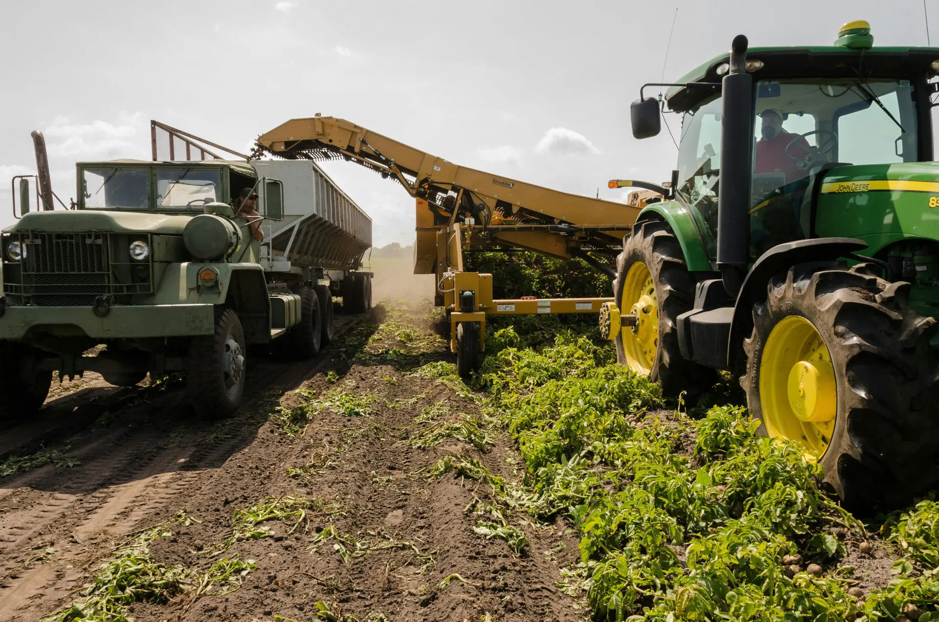
Invasive species cost Canadian agriculture an estimated $2.2 billion annually, a threat amplified by climate change. This project introduces an AI-powered platform to help farmers detect, monitor, and treat invasive threats using satellite imagery and precision drone interventions. The first module uses EarthDaily Constellation (EDC) satellite images and foundational AI models to identify crop threats, alert stakeholders in real time, and assign confidence scores. The second module activates drone-based treatment by targeting infested zones with custom vision algorithms and location data, ensuring precise action and measurable impact. The system is designed for continuous learning and expansion across regions. When deployed at scale, this solution can increase crop yield and quality by up to 50% and mitigate long-term ecological and economic damage.
“By combining daily satellite monitoring with an advanced AI foundation model, this collaboration empowers Canadian farmers with the tools they need to detect and respond to invasive species faster and with greater precision. Together with our partners, we’re building an early warning and treatment system that strengthens agricultural resilience, reduces chemical use, and safeguards the long-term productivity of Canadian farmland. This initiative reflects our commitment to using cutting-edge technology to protect Canada’s food supply and support a more sustainable agricultural future in the face of climate change.”
– Chris Rampersad, Vice President, EarthDaily Analytics:
Investment
$
1.2
M
Scale AI investment
$
6.9
M
Total investment
Partners